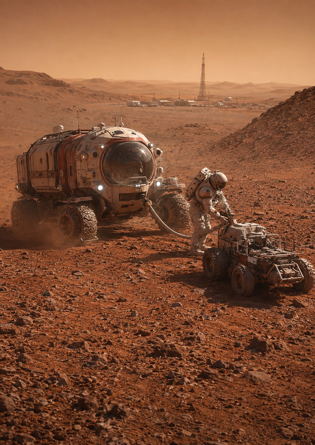
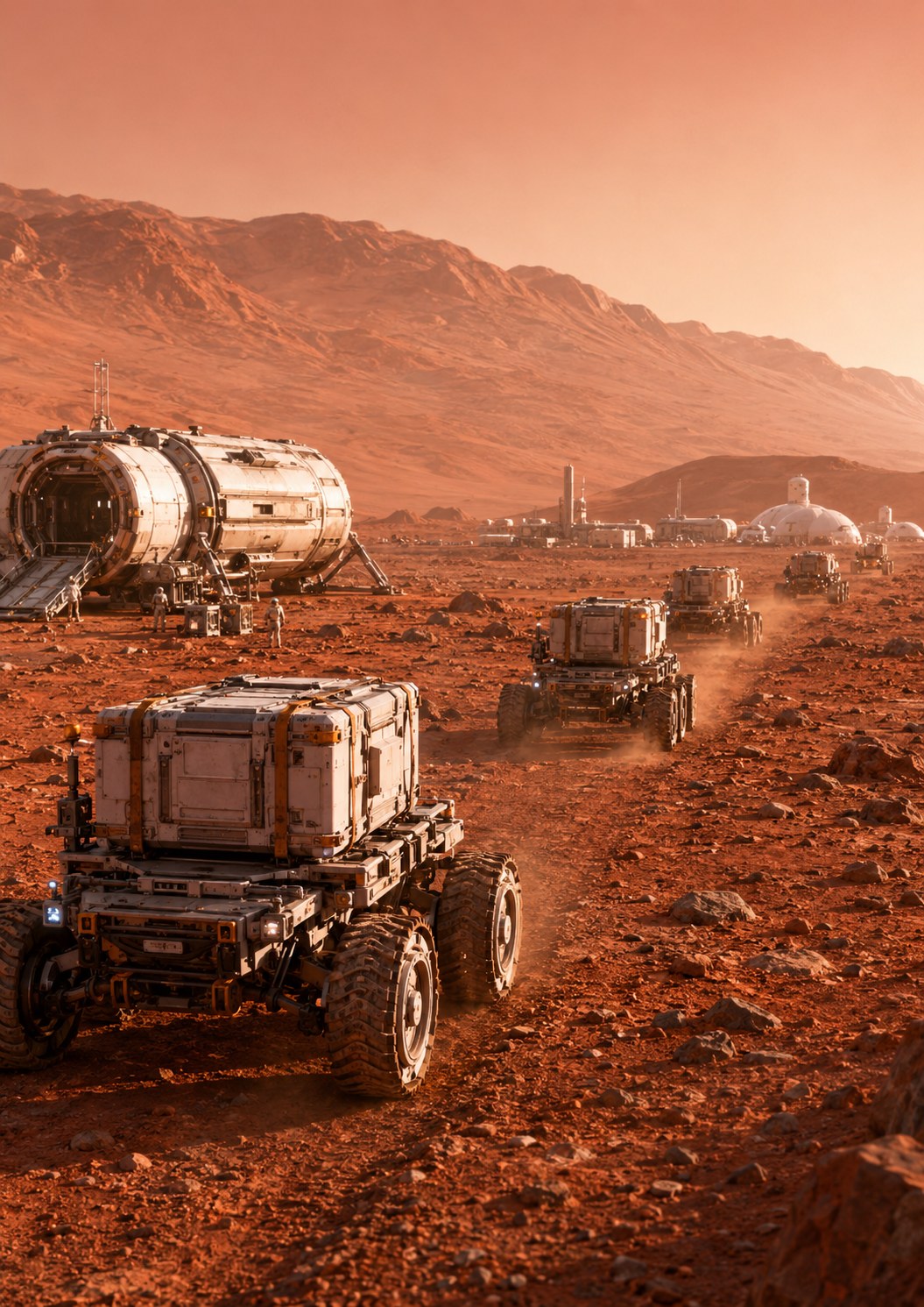
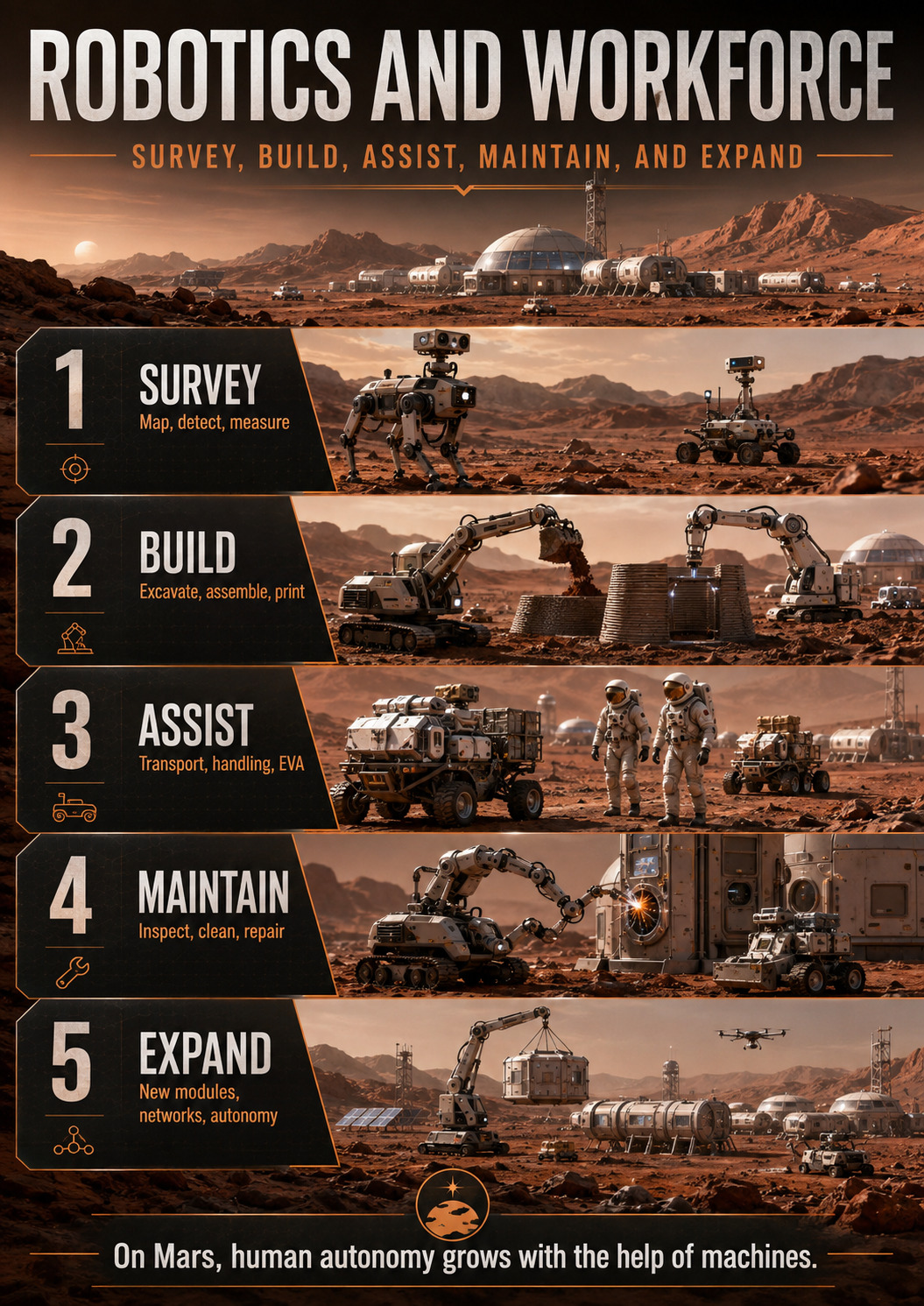
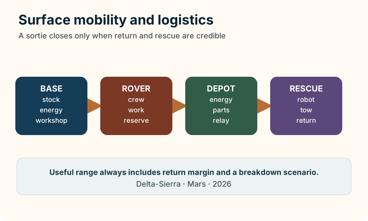
Conceptual visualisation of field maintenance. A credible mobility architecture must provide diagnostics, tools, spares, lifting, backup power and recovery of a disabled vehicle far from the workshop.Conceptual visualisation of surface logistics. Mobility is not only for exploration: it must move consumables, spares, equipment, rescue assets and cargo between landing zones, workshops and habitats with realistic failure margins.
Moving on Mars means moving energy, parts and risk
“Surface mobility, robotics and logistics on Mars” addresses mobility as a logistics chain in which rovers, robots, energy, communications and rescue must complete a campaign.
The central observables are distance, speed, energy, traction, payload, wheel condition, communications, crew time and towing capability.
Those omissions are engineering information.
NASA autonomous-systems work helps move appropriate decisions onboard when communication or crew cannot supervise every action
This evidence is used only for what it demonstrates.
Recompute trip energy = specific consumption × distance, with an explicit reserve with units visible. The result is not accepted in isolation: then check whether the change also modifies distance, speed, energy, traction, payload, wheel condition, communications, crew time and towing capability.
Distance turns a rover failure into a survival problem
Mars mobility has to be sized by return capability rather than nominal range. A rover capable of travelling 100 km cannot necessarily operate 100 km from the base: energy, time, oxygen, thermal control and communications must remain available for a detour or a partial failure on the way home. Human excursions also depend on transfer between vehicles, mobile refuge capability and the time a crew can safely wait for rescue. Cargo robots can accept slower or more exposed routes when their loss does not remove a life-critical resource.
Logistics then connects travel to inventory. Parts, batteries, tools, samples and consumables must be located and reserved before departure. An autonomous fleet needs qualified routes, terrainability maps and priority rules when several vehicles require the same charger, lifting device or communications relay. As the settlement grows, mobility stops being a collection of rovers and becomes a transport network with measurable capacity, maintenance demand, rescue coverage and availability.
When a vehicle fails far from base
increasing range without dependence on one vehicle or one communication path
field tests, communication-loss cases, rescue/towing, autonomous navigation and fleet-management exercises
Verification asks whether the requirement is met;
From mission tracks to the logistics network of a city
From rover to mobility network: a Martian town must guarantee return, not only departure
Mars rovers have demonstrated the value of autonomous navigation, visual odometry and cautious route planning. A human town adds a harsher constraint: every trip commits people, energy, atmosphere, communications, spare parts and rescue capability. The system is therefore judged not only by distance traveled but by its ability to bring the crew home or send help after a failure.
Every trip has a return budget
Before departure, planning must reserve energy for return or a refuge, include margin for terrain and environmental uncertainty, and define turn-back points. A pressurized rover expands range dramatically but also becomes a mobile habitat. Atmosphere, thermal control, fire, communications, navigation and maintenance become life-critical systems.
Logistics can reduce risk by prepositioning batteries, oxygen, spares, beacons or shelters. The Martian map then becomes a network of nodes rather than a simple radius around one base.
Use robotic time when crews are absent
NASA notes that exploration architectures may contain periods when a surface base is dormant without crew. Robotics can use that time for cargo transfer and staging, site preparation and some maintenance tasks. On Mars the same logic could be powerful: robots inspect routes, move containers, prepare worksites and build inventory before humans arrive.
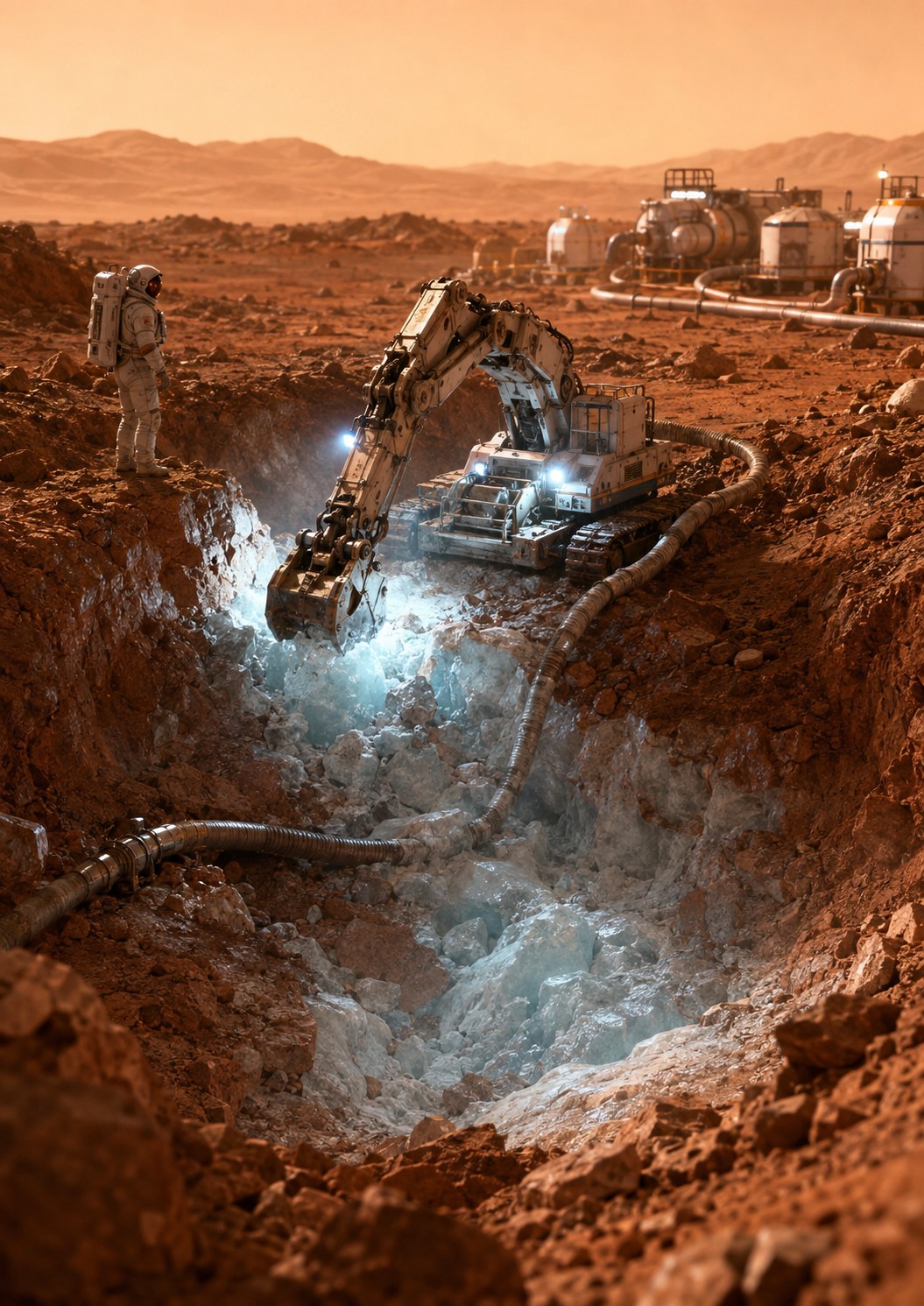
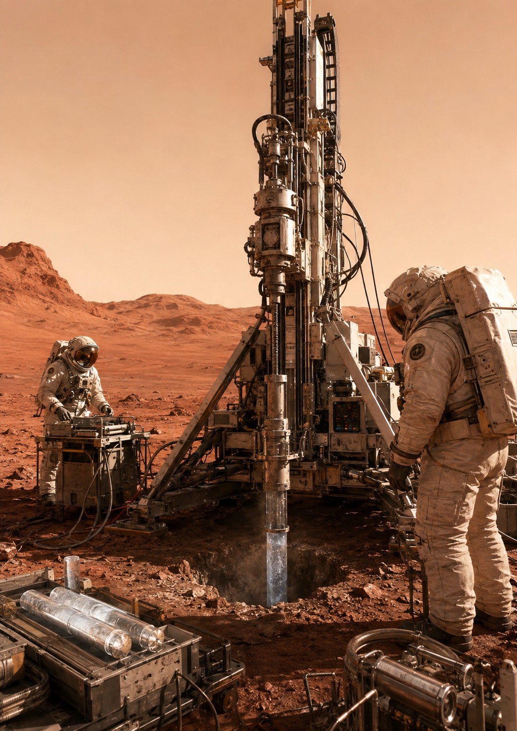
Water extraction turns the site into a logistics worksite: excavation, hauling, power, wear parts, safety and trip frequency become mobility parameters.
Autonomy does not mean unsupervised danger. Each machine needs safe-stop behavior, state reporting, local takeover and rules that prevent a failed robot from creating a new hazard. A fleet of fifty robots becomes a traffic and maintenance system with priorities, exclusion zones and access rules.
2026: Martian mobility remains an active development field
In July 2026 NASA announced STRIDE awards to advance robotic surface mobility for future Mars exploration, including access to more challenging terrain and greater range. JPL is also developing faster, more robust autonomous mobility. These efforts are not operational human Mars vehicles. They show that mobility remains an active capability gap and future solutions will likely combine human driving, local teleoperation and onboard autonomy.
At one hundred and one thousand residents, roads, workshops and traffic rules appear
A twenty-person base may still manage a handful of vehicles individually. At one hundred, charging schedules, a workshop, wheel inventory, parking, recovery procedures and route maps become necessary. At one thousand, mobility becomes an urban service: passenger transport, freight, emergency response, road maintenance, traffic rules and coordination with landing zones.
Redundancy becomes distributed. One workshop failure should not immobilize the fleet; one accident should not sever the only route between districts. Like power and communications, mobility eventually becomes public infrastructure.
The decisive metric: useful tonne-kilometres under risk constraints
Maximum speed is rarely the most important quantity. Effective logistics measures delivered mass, distance, energy, vehicle availability, human time and mission risk. A slow autonomous robot may be superior for repetitive freight; a heavy pressurized rover is required when humans travel far from the base.
The Martian network will therefore need multiple mobility classes. Maturity comes from complementary services and recovery plans, not from one vehicle expected to do everything.
Dust turns mobility into a maintenance problem
Every trip carries regolith toward joints, seals, radiators, connectors and airlocks. A vehicle should therefore not be evaluated only by traction. Cleaning time, wear, wheel or actuator replacement and interfaces with the habitat all matter. Mobility connects directly to dust control, spacesuits and maintenance.
Fleet standardization can reduce spare inventory through common wheels, motors, electronics and connectors. As elsewhere, excessive commonality can create common-cause risk. Shared components need testing across several environments and load cases.
A logistics map should show rescue time, not distance alone
Two sites thirty kilometres from the base can have very different risk depending on terrain, radio visibility, slopes and alternative routes. Operational maps should therefore show estimated rescue time, refuges, poor-communication zones and prepositioned resources. That representation is more useful than a simple maximum-radius circle around the habitat.
Deep monograph
Choosing a vehicle from task, terrain and return risk
Choosing a vehicle from task, terrain and return risk. This chapter is organized around physical and operational mechanisms specific to “Surface mobility, robotics and logistics on Mars”.
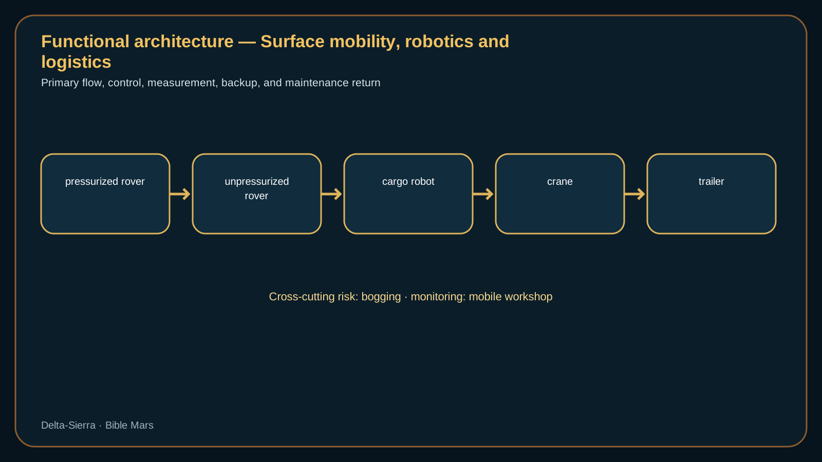
Level-A diagram: main functional flow; details and limitations are explained in the text.
Power and thermal limits define range better than distance alone
Communications: maintaining control when terrain masks the base
On Mars, terrain can break a radio link long before distance does. A rover descending behind a ridge or into a depression may lose line of sight to the settlement while its power, navigation and mechanical systems remain healthy. Communications therefore has to be designed as a mobility service: predictable coverage, local message storage, acknowledgements, time stamps and explicit driving rules for periods when the link disappears.
Several architectures can provide that service. Fixed beacons on high ground reduce radio shadows; a mobile relay or drone can restore temporary visibility; a mesh between vehicles creates alternate paths; an orbiter provides a longer-range but intermittent route. The trade depends on terrain, electrical power and acceptable recovery time. A coverage map only becomes operationally useful when it is tied to the routes actually driven and to the energy reserve required to turn back.
In a degraded scenario, a pressurised rover loses its direct link while entering a valley and an unpressurised vehicle is ten kilometres behind. The first vehicle must retain position, energy state and a time-stamped message queue; the second can act as a relay without consuming its own return reserve. Recovery is not demonstrated merely when the carrier returns: pending commands must still be valid, the return route must remain safe and both crews must understand the changed network topology.
Maintenance: repairing far from the main workshop
A repair performed far from the main workshop is constrained by what the recovery vehicle can carry and by what the stranded vehicle can safely expose to dust and cold. The first planning question is therefore whether the fault can be converted into a towable or limp-home state. A damaged wheel station, for example, may be mechanically isolated even when it cannot be restored to full performance; a battery fault may require electrical segregation before towing; a pressure-boundary problem may make crew transfer more urgent than vehicle recovery. Route geometry then enters the repair decision because a vehicle that can move at reduced speed on firm terrain may still be unable to cross the soft segment that lies between it and the base. Field kits should be selected from actual rescue cases: lifting and towing points, connectors, portable diagnostics, thermal protection for opened equipment and a small set of interchangeable modules. The acceptance criterion for a field intervention is not “repaired as new” but a clearly bounded state—safe to tow, safe to drive at reduced load, or safe only as a shelter until another vehicle arrives.
Reproducible calculations specific to this subject
Theoretical energy radius
Eutile = 120 kWh × 0,70 = 84 kWh; à 0,6 kWh/km → 140 km aller-retour, soit 70 km de rayon
The calculation reserves 30% of the battery and assumes 0.6 kWh/km. The theoretical 70 km radius must still be reduced for cold, terrain, payload, detours and rescue capability.
Availability of a five-vehicle fleet
P(au moins 4 disponibles) = C(5,4)0,9⁴0,1 + 0,9⁵ ≈ 0,9185
Under a simplified independence assumption and individual availability 0.9, the probability of at least four vehicles being available is about 91.9%. A common-cause failure would reduce it.
Round-trip rescue radius
r = v × t / 2 = 14 km/h × 3 h / 2 = 21 km
With a three-hour energy window and an average speed of 14 km/h, a rescue vehicle must stay within about 21 km if it must return. Operational geography is smaller than advertised range.
A fleet must rescue, tow and maintain its own vehicles
Construction logistics: moving regolith, water, structures and machines
One hundred people: dispatch, maintenance, depots and organized rescue
One hundred people: dispatch, maintenance, depots and organized rescue. Competence for one hundred people: dispatch, maintenance, depots and organized rescue cannot be transmitted by procedures alone. If navigation depends on one expert, the settlement has a human single point of failure. At 4 residents, the same reasoning changes organization. As the settlement grows, roads, beacons, charging sites, depots and standardized interfaces can reduce the cost of every later trip. Infrastructure investment therefore changes the mobility equation over time: a route that is marginal for an isolated expedition can become routine once the network itself provides recovery options.
One thousand people: transport network, priorities and separated flows
Medical transport: response time, stabilization and suit compatibility
A rover is stranded thirty kilometres away
A rover is stranded thirty kilometres away. A rescue vehicle must reach the crew, transfer people or energy and return with its own margin. Maximum rover range becomes secondary to the real rescue capability of the network.
Cold battery sharply reduces range
Cold battery sharply reduces range. The traverse was planned from average consumption, but cold conditions and auxiliary heating reduce available energy. The scenario requires a temperature-dependent energy model and a dynamically calculated turn-back point.
Autonomous route and terrain disagree
Autonomous route and terrain disagree. The autonomy system proposes a passage that local observations make questionable. The crew must explain, modify or reject the recommendation without losing the benefits of autonomy. The scenario links mapping, perception, human authority and system learning.
The fleet becomes a public utility
The fleet becomes a public utility. At one thousand residents, vehicles are no longer assigned to one mission: they form a shared fleet with maintenance, priorities, rescue and scheduling. The scenario forces the transition from rover logic to transport-network logic.
From mission rover to a city transport network
Case study — convert rover energy into logistics radius
A rover using 40 kWh over 25 km has e = E/d = 1.6 kWh/km. If 30% of a 40 kWh battery must remain in reserve, 28 kWh are available for planning and give 17.5 km at the same mean consumption. e is energy per distance, E energy and d distance.
Terrain, temperature and soil can increase instantaneous power. A robot immobilised 12 km away can create a rescue mission that consumes a second vehicle.
Validation includes wheel failure, battery degradation, link loss and diversion, with safe return and capacity left for the next mission as acceptance criteria.
Rescue energy is a route constraint, not a battery percentage
A vehicle that can reach a distant site is not necessarily capable of supporting a rescue there. Consider a pressurised rover averaging 6 kW for traction and 2 kW for habitat loads over a three-hour outbound leg and the same duration for return. The ideal round-trip energy is E = (6+2)×6 = 48 kWh. Adding a 30% contingency for detours, thermal conditioning, wheel slip and waiting raises the planning value to about 62.4 kWh. E is energy in kilowatt-hours; power in kilowatts is multiplied by time in hours. The reserve has to be checked against usable battery energy at the expected temperature, not the nameplate value at the beginning of life.
A rescue mission then adds payload and topology constraints. Towing another rover increases rolling resistance; carrying an injured crewmember may require continuous environmental control; acting as a radio relay can force the vehicle to stop at a high point rather than take the shortest route. Route planning should therefore maintain a dynamic return envelope that combines energy, communication coverage, terrain slope and the availability of a second rescue asset. Once the vehicle crosses that envelope, the mission has consumed not only range but also the settlement's ability to recover from the next fault.
Size a Mars fleet around guaranteed return, energy and rescue capability
Maximum brochure range is not operational range. A Mars vehicle must retain energy to return, heat itself, detour around bad terrain, wait through a repair and sometimes assist another vehicle. Mobility becomes a life-safety function as soon as a crew travels beyond a distance that could be covered on foot within suit and environmental consumables.
Useful fleet range is constrained by return energy, rescue geometry and recovery time rather than by nominal battery capacity alone.
Sortie energy budget: outbound + worksite + return + reserve
A transparent first model is Etot = Eout + Esite + Ereturn + Ereserve. If a rover averages 1.6 kWh/km, travels 25 km out and 25 km back, and uses 18 kWh while parked for heating, communications and tools, the pre-reserve requirement is 1.6 × 50 + 18 = 98 kWh. A 30 percent operational reserve gives about 127.4 kWh of usable energy. Terrain, temperature, vehicle mass, speed and auxiliary loads can move the real value substantially; the benefit of the budget is that every assumption is visible.
Rescue creates a fleet geometry
A stranded vehicle 80 km from base is only truly rescueable if another asset can reach it, support or tow it and still return with its own reserve. This can motivate energy depots, prepared routes, pre-positioned robots or an operating rule that prohibits certain distances without a second vehicle. The fleet should be evaluated as a network of recoverable states, not a collection of independent maximum-range machines.
Use robots first where they reduce human exposure
Logistics robots can scout routes, pre-position consumables, inspect work sites, move cargo and check a disabled vehicle before an EVA crew arrives. Their value is not simply replacing people. It is converting suit time, radiation exposure and life-support consumables into machine time. A slow autonomous carrier may be extremely productive if it works while the crew sleeps or performs habitat tasks.
Move from mission rovers to a maintainable transport utility
A settlement-scale network needs versioned maps, position references, depot management, dispatch priority and condition monitoring. Wheels, suspension joints, batteries, motors and seals become an industrial maintenance population. Designers should make high-consumption items accessible and standardise interfaces where that creates substitution without introducing one common defect across the whole fleet.
Failure case: suspension damage 32 km from the habitat
The cabin remains pressurised but the rover cannot continue. First preserve survival—thermal control, oxygen, communications and known position. Then compare field repair, crew transfer, tow and wait-in-place. The best choice changes with part availability, EVA duration, local conditions, consumable endurance and rescue-vehicle state. Procedures should expose these quantities rather than reduce the situation to a generic “send rescue” instruction.
Logistics services need an alternate path
If all water, food or maintenance cargo depends on one pressurised truck, mobility becomes a common single point of failure for the settlement. Critical deliveries can be diversified across vehicles, robotic carriers and local buffer stock. Resilience does not require duplicating every vehicle; it requires at least one credible alternate way to deliver each essential service.
Autonomous driving needs an explicit authority envelope
Automation should know when it is permitted to choose a path, stop, reroute or request human judgment. The envelope can depend on terrain classification, localisation confidence, energy reserve and distance from a safe haven. This makes autonomy auditable: operators can see not only what the rover selected, but why it was allowed to make that choice.
Decision case — rescuing a pressurized rover beyond safe walking return
A pressurized rover is immobilized 38 km from the habitat after a suspension fault. The crew still has power, oxygen and intermittent communications, but the distance rules out an EVA walk-back. The engineering question is no longer simply whether the rover can be repaired. It is which combination of time, energy, vehicles and consumables guarantees the people can return. A rescue vehicle must travel out, remain long enough to transfer crew or hardware, and return with its own reserve intact.
Assume the rescue rover consumes 1.8 kWh/km under those conditions and the actual round trip, including detours, is 84 km. Traction then requires about 151 kWh before cabin heating, communications and work at the site. Adding 35 kWh of auxiliary use and a 25% operational reserve gives roughly (151 + 35) × 1.25 ≈ 233 kWh. This is a teaching calculation, not a vehicle specification; its purpose is to show why nameplate range does not demonstrate rescue capability.
The strongest solution may be logistical rather than a larger rover: an intermediate energy cache, a cargo robot dispatched ahead of the crewed vehicle, a local radio beacon, standardized towing hardware or a suspension kit stored along a frequently used route. Surface mobility becomes a resilient service when a remote mechanical fault does not automatically become a life-safety emergency.
Route energy is a network property, not a vehicle brochure number
Energy per kilometre changes with grade, soil, temperature, payload, tire or wheel condition and the power drawn by cabin systems. A route planner should therefore store energy histories by segment and update them after storms or construction. The relevant question for a crewed trip is whether the vehicle can reach a refuge or return under adverse but credible conditions, not whether it once achieved a long range on an easy traverse.
Energy caches and charging nodes can reshape that geometry. A modest depot placed where two high-use routes diverge may increase safe operating radius more effectively than adding battery mass to every vehicle. The trade includes maintenance of the depot, losses during storage, dust protection and the possibility that the depot itself is unavailable when needed.
Fleet availability is a dispatch problem as well as a reliability problem
A settlement may own ten vehicles and still have no usable rescue asset if the available machines lack the right pressure capability, tow interface, battery state or trained crew. Fleet management must therefore track capability states, not only “working/broken.” A cargo robot with a degraded camera may still move pallets on a prepared route; the same fault can disqualify it from scouting an unprepared rescue path.
A resource site requires survey, drilling, power, handling, transport, maintenance and recovery capability.
Dispatch rules should reserve enough capability for emergencies. Scheduling every pressurized rover near its maximum utilization improves nominal productivity but removes recovery options. The fleet needs explicit minimum reserves, maintenance windows and substitution rules so that routine logistics cannot silently consume the last safe return path.
Dust and temperature convert a nominal range into an uncertain range
Cold batteries deliver less usable energy and demand heating; dust raises rolling losses and can degrade radiators, seals and optical sensors. Those effects couple: a vehicle that spends more power moving may also have less power available because the battery is colder than expected. Range estimation should therefore use measured state and environmental conditions rather than a fixed kilometres-per-charge constant.
A practical rule is to recalculate the point of no return during the traverse. If energy consumption per kilometre rises, the return reserve must be updated before the crew crosses a threshold that cannot be recovered by simply driving more slowly. This turns telemetry into an operational safety boundary instead of an after-the-fact record.
Robotic autonomy needs an explicit safe-stop doctrine
A cargo robot that loses localization should not continue simply because its motors and radio are healthy. It needs a hierarchy of responses: slow down, seek a known landmark, retreat along a verified path, park in a safe orientation or request help. The correct action depends on terrain, energy state, traffic and whether stopping blocks a critical route.
That doctrine also defines what the robot must explain to human operators. A state such as “navigation uncertain” is not enough if the operator cannot see which sensors disagree, how quickly uncertainty is growing and what recovery options remain. Autonomy earns trust when it exposes the evidence behind a safe stop and allows a local team to resume operation without waiting for Earth.
A city-scale transport network separates urgent flows from routine freight
At larger population, oxygen cylinders, food, construction materials, medical transport and waste should not all compete through the same single route or vehicle class. Some flows are delay-tolerant and can move slowly at night; others require guaranteed response time. Routing, depots and vehicle reservations should reflect those service classes.
Hazardous cargo adds another layer. Oxygen, high-energy batteries and reactive chemicals may need separation from passengers, temperature limits or special crash procedures. Standard pallets and tow interfaces can simplify logistics, but the network still needs rules about what may travel together and which refuge or isolation point is available after an accident.
Route qualification should combine terrain mechanics with recovery planning
A route that a rover can traverse once is not yet a qualified logistics corridor. Repeated traffic can create ruts, expose rocks or compact loose material; seasonal lighting can change navigation quality; dust deposition can hide landmarks. Survey data should be updated with actual wheel slip, energy use and maintenance events so that the route model reflects what vehicles experience rather than what orbital imagery suggested before operations began.
Recovery planning belongs in the same route file. It should identify safe pull-off areas, turning points, communication shadows, locations where towing is practical and the nearest place a stranded crew can wait with thermal and life-support margin. This converts a map into an operational asset.
Towing and field repair require standard mechanical interfaces
Rescue becomes slower if every vehicle needs a different tow bar, lifting point or wheel-removal tool. Standard hard points, electrical jump interfaces, data connectors and jacking geometry let a mixed fleet support itself. The interface loads have to be designed for degraded vehicles, not merely for nominal cargo handling; a stuck rover may impose large lateral and shock forces during recovery.
Standardization does not require identical vehicles. A light cargo robot and a pressurized rover can share selected rescue interfaces while keeping different propulsion, suspension and mission equipment. The objective is to make emergencies composable: any available helper should be able to provide at least a limited set of useful actions.
Logistics priority should be tied to consequence of delay
Not every delivery deserves the fastest vehicle. Food inventory with weeks of margin can move on a slow autonomous carrier, while a failed carbon-dioxide scrubber part may justify immediate dispatch. A city-scale scheduler should therefore attach a deadline and consequence to each load, then allocate vehicles according to urgency, route condition and reserve capability.
This also protects emergency resources. If routine construction consumes every charged rover, the network has optimized utilization at the expense of resilience. Maintaining an explicit reserve of energy, vehicle capability and operator attention is analogous to holding margin in a spacecraft: unused capacity is not waste when it prevents a local disruption from becoming a safety event.
Medical evacuation changes the definition of an acceptable route
A science traverse and an emergency medical transport do not value the same road. The medical route must tolerate a larger vehicle, allow cabin stabilization, avoid excessive vibration and remain usable when one navigation aid is unavailable. A short path through rough terrain may be worse than a longer prepared corridor if it increases patient risk or consumes the reserve needed for the return trip.
Planning should therefore maintain an emergency network layer on top of the ordinary logistics map: guaranteed-width corridors, known communication coverage, locations where another vehicle can rendezvous and points where a patient can be transferred without a long EVA. Route maintenance then becomes part of medical readiness rather than a purely civil-engineering task.
Fleet wear should be managed by mission severity, not kilometres alone
Two 20 km trips can consume very different component life. High wheel slip, repeated rock impacts, steep side slopes, towing and deep cold can age bearings, suspension and batteries faster than smooth travel on a prepared route. Maintenance records should therefore capture severity indicators alongside distance: energy per kilometre, peak motor current, slip ratio, shock events and thermal exposure.
Those data allow rotation of vehicles and components before one asset accumulates all of the harsh missions. A fleet can deliberately reserve the healthiest pressurized rover for rescue while assigning routine freight to machines whose remaining life is adequate for low-consequence routes. The result is a logistics policy based on capability margin rather than odometer readings.
Convoys change failure handling because vehicles can share capability
A lone rover must carry enough capability to diagnose, communicate and recover from its own faults. A convoy can distribute those functions: one vehicle may carry a crane, another a workshop module, a third extra energy or life support. That reduces duplicated equipment but introduces coupling. If every vehicle depends on the same lead navigator or charging trailer, the convoy has created a new single point of failure.
Convoy rules should therefore define separation distances, independent navigation fallback, towing compatibility and the minimum capability that remains if one vehicle is abandoned. The decision to travel as a group is an architectural trade between shared resources and common exposure to terrain, weather and route blockage.
Sources and documentary findings
Choosing a vehicle from task, terrain and return risk: the references below are retained because they contribute a result, technology status or verification framework directly useful to this subject.
NASA Science — STRIDE (2026)
On July 8, 2026, NASA announced the selection of seven companies to conduct studies and early development work on advanced robotic mobility for Mars. Depending on the dossier, this milestone informs surface transport, payload deployment, robotic autonomy, infrastructure siting, or operator workload.
NASA/JPL — Perseverance completes first AI-planned drives (2026)
Perseverance executed drives in December 2025 whose waypoints were prepared with AI using orbital imagery and terrain data; NASA published the result in January 2026. It illustrates growing route-planning autonomy without removing system validation and terrain constraints.
The ERNEST prototype was field-tested in desert terrain in March 2026 to explore higher-speed mobility, long-distance driving and autonomy. Although relevant to multiple destinations, the test directly informs speed, perception, endurance and navigation trades for a future Martian fleet.
NASA — Extravehicular Activity and Human Surface Mobility
NASA treats suits, surface mobility and EVA operations as linked capabilities. For Mars, the suit must be analyzed together with vehicles, airlocks, tools and rescue logistics rather than as an isolated garment.
Weather and dust can close a route even when every vehicle is healthy
A route is a service with environmental limits. Reduced visibility can remove optical navigation margin; dust loading can raise energy consumption and hide rocks; temperature can reduce battery power at the same time that cabin heating demand rises. Operations should therefore define route-closure criteria from measured conditions rather than leaving the decision to individual driver confidence.
Closing a route creates a logistics consequence that must be planned in advance. Critical stores need enough local reserve to survive the closure, while alternate routes or robotic deliveries can serve high-priority loads when conditions permit. This is another reason surface transport should be designed as a network with inventory buffers, not as a sequence of independent trips.